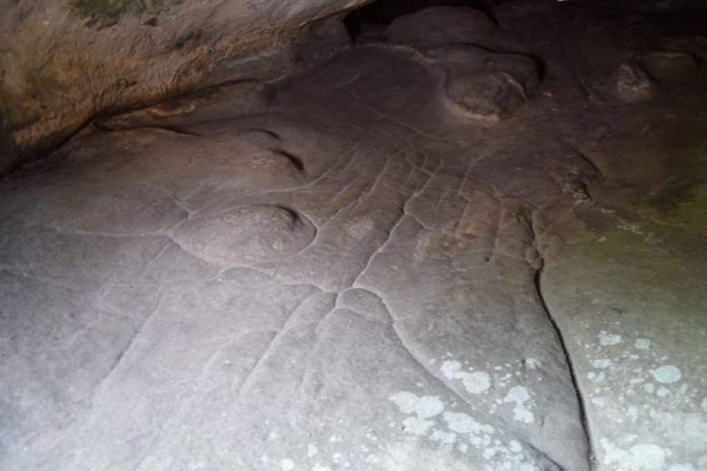
Researchers uncovered a 13,000-year-old sandstone model in France’s Ségognole 3 rock shelter, possibly the world’s oldest 3D map. The miniature landscape reflects natural water flows, revealing early humans’ advanced environmental understanding and engineering skills. Researchers have uncovered what could be the world’s oldest three-dimensional map, etched into a quartzitic sandstone megaclast in the Paris Basin. […]
Source link


