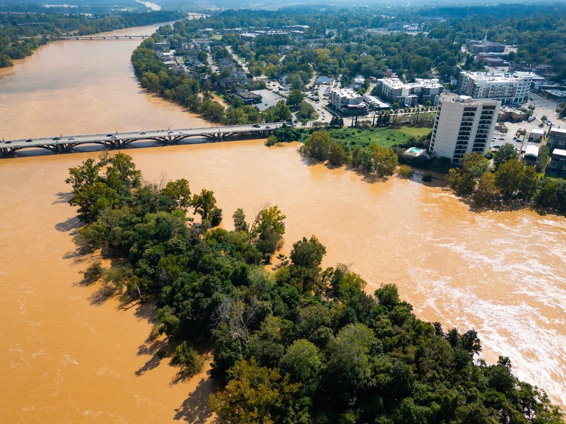
If you want to see the latest on Congaree River flooding below Cayce, all you need is an smartphone with an internet connection.
The U.S. Geological Survey has installed a live, interactive camera at Congaree River below Cayce. The camera lets viewers see current conditions in real time.
Some Cayce residents were urged to evacuate on Sunday because of rising water at Congaree River caused by rainfall from Helene. The Cayce Riverwalk and Timmerman Trail remain closed because of flooding.
The 12th Street Extension near the Amazon Distribution Center is also closed because of flooding. However, the Gervais Street Bridge and all other Columbia bridges across the Congaree have been closed.
As of Monday, Congaree River had crested just over 30 feet — just shy of the 32 feet seen during the “1,000-year flood” that crippled the Midlands in 2015.
How to watch Congaree
To access the live webcam, click here.
The link will bring you to the USGS website with the live camera. According to USGS, you can take temporary control of the camera by clicking the “play” button in the middle of the screen. After that, click the “control” button at the bottom of the screen. The slider bar at the top controls the camera’s left and right motion, while the left-side slider bar controls the up and down motion.
The zoom is controlled by the slider on the right side.
Once you have control of the camera, a box with preset camera positions appears. You can select a preset position to move the camera to if you choose.
USGS notes that to conserve battery power, the camera is turned off at night.


