How Smartphones and Crowdsourcing Are Redefining Geospatial Data
The evolution of geospatial data, fueled by technological advancements, has led to its widespread application and the democratization of data…
Bringing News as it Unfolds
The evolution of geospatial data, fueled by technological advancements, has led to its widespread application and the democratization of data…
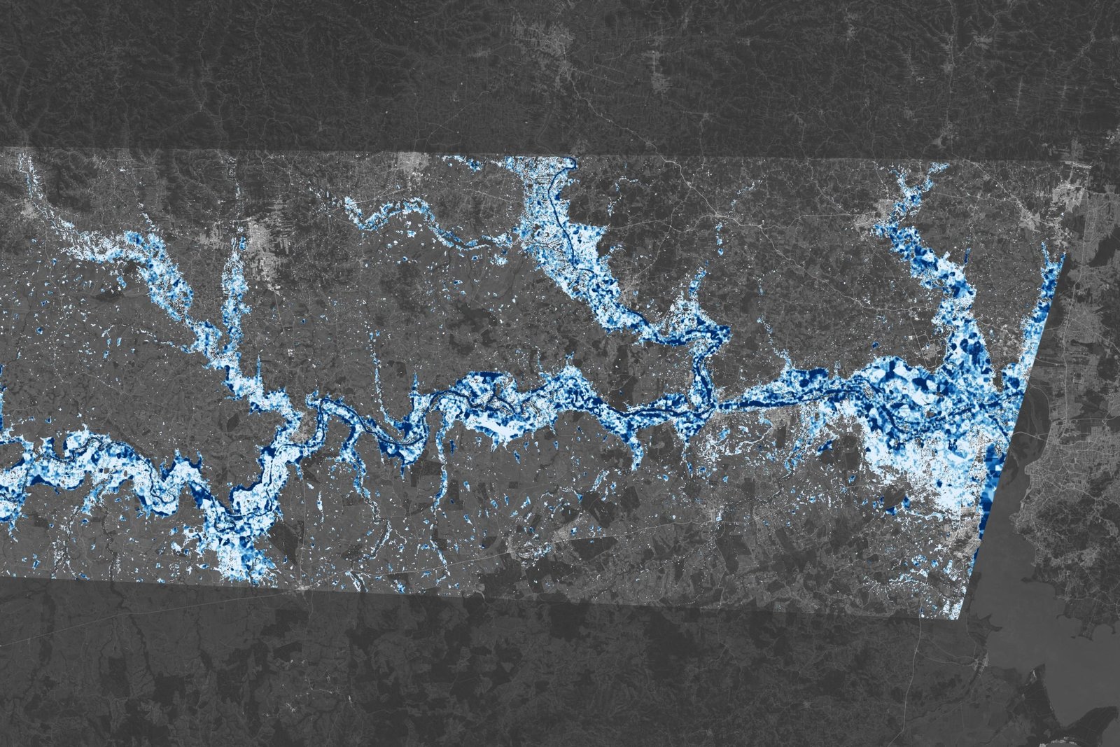
This map shows estimates of flood depth in areas west of Porto Alegre, Brazil on May 6, 2024. In 2024,…
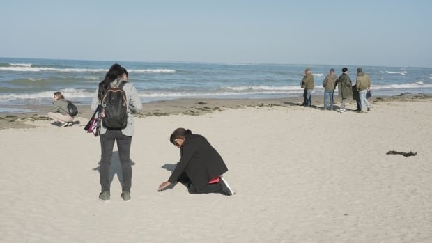
Visitors pepper the length of Utah Beach in Normandy, France, some pausing to take photos, others simply staring out across…
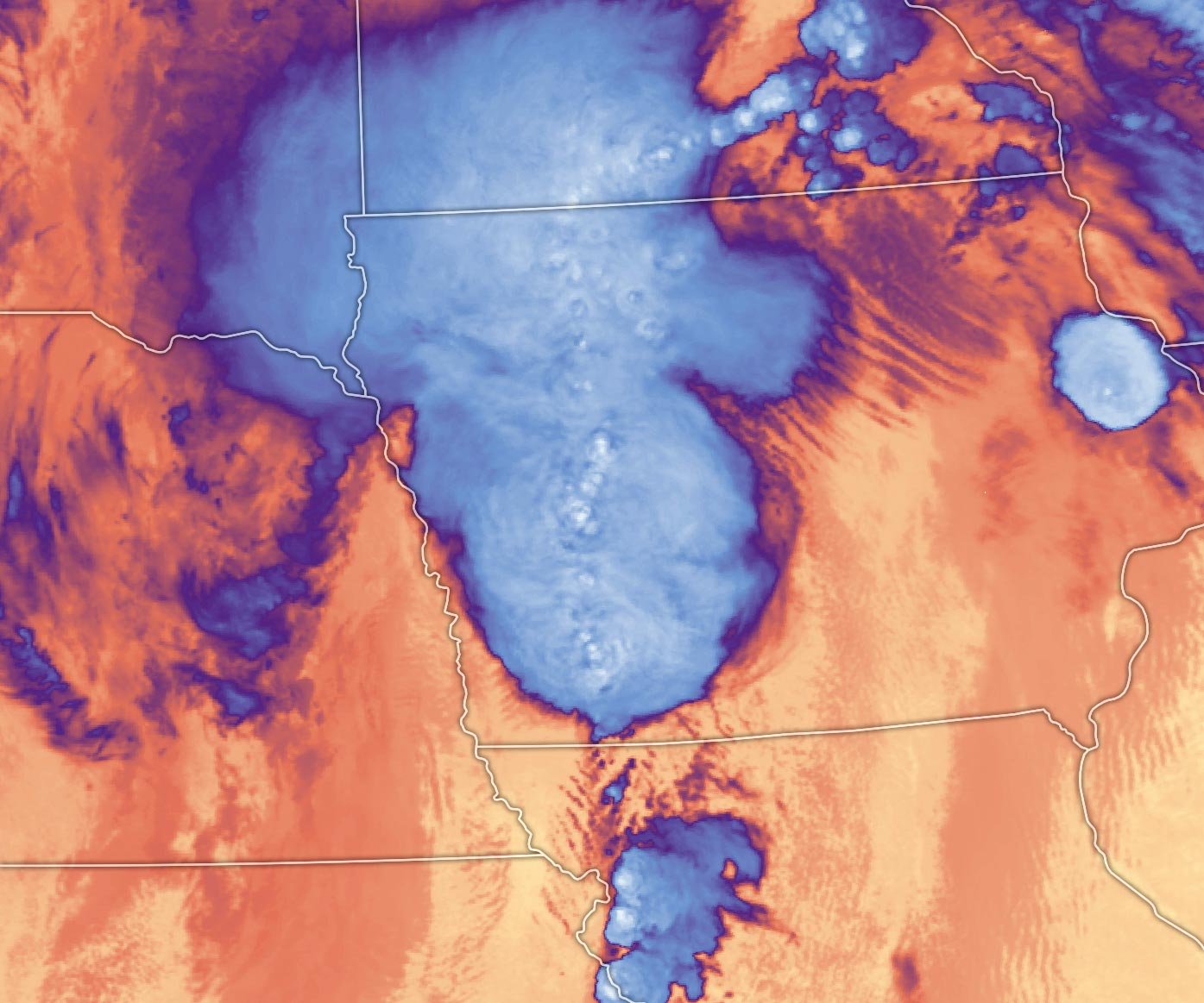
Satellite view of tornado damage across Greenfield, Iowa captured on May 25, 2024, by the Operational Land Imager on Landsat…
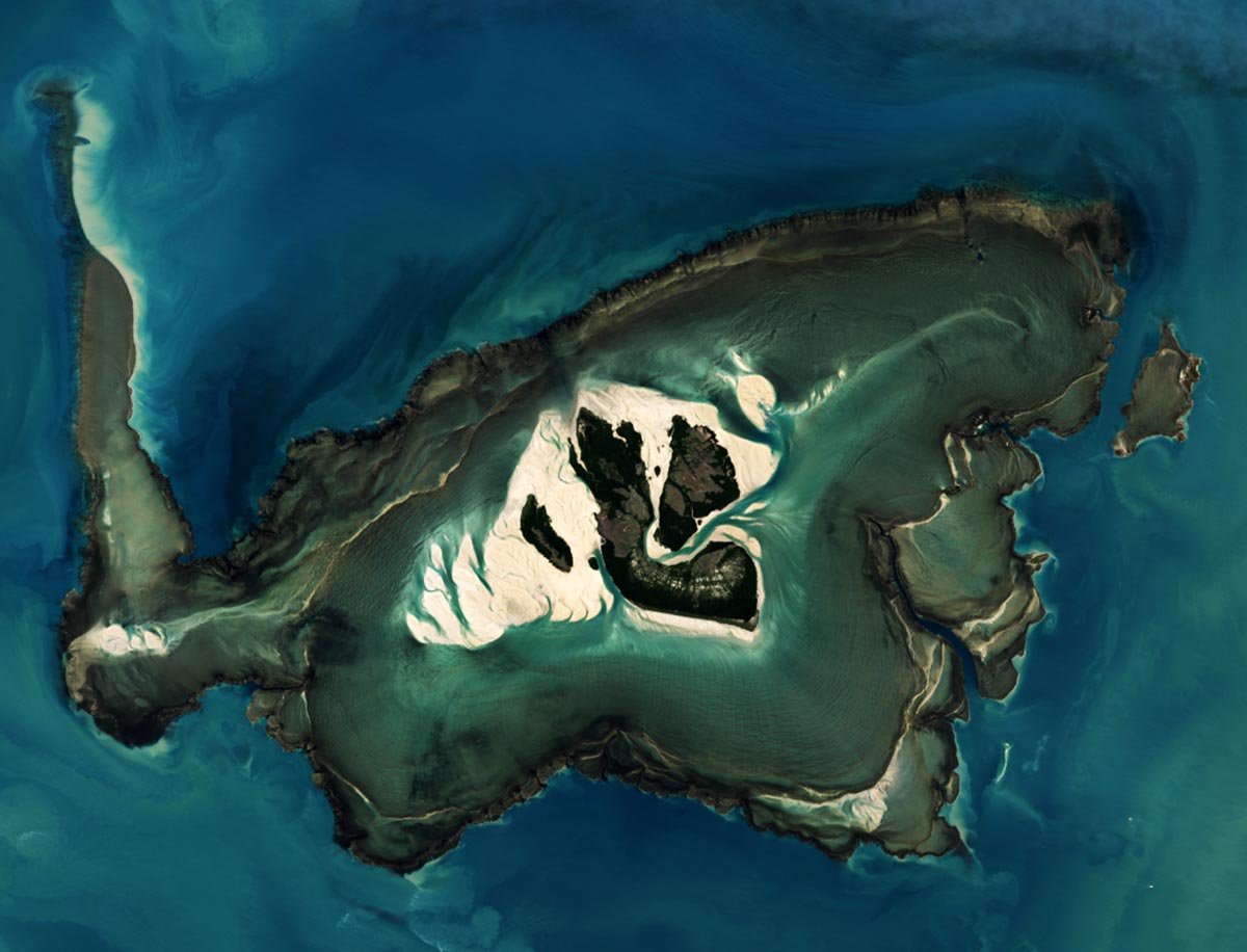
Satellite image of Montgomery Reef around Australia’s Yawajaba island captured at high tide on April 21, 2024, by the Operational…
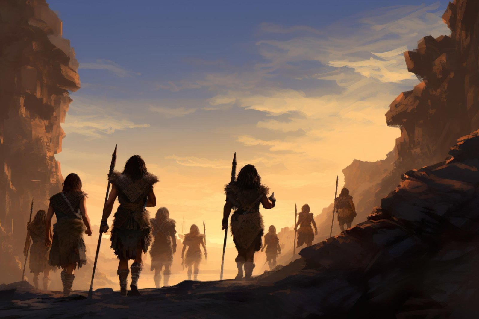
New research uses landscape evolution models to uncover the migration patterns of Sahul’s First Peoples. Credit: SciTechDaily.com Introduction to New…
Scientists in the U.S. and Canada are watching wastewater for early signs of H5N1 as an outbreak of bird flu…
The Canadian men are getting another high-profile test in advance of this summer’s Copa America. Canada Soccer has confirmed the…
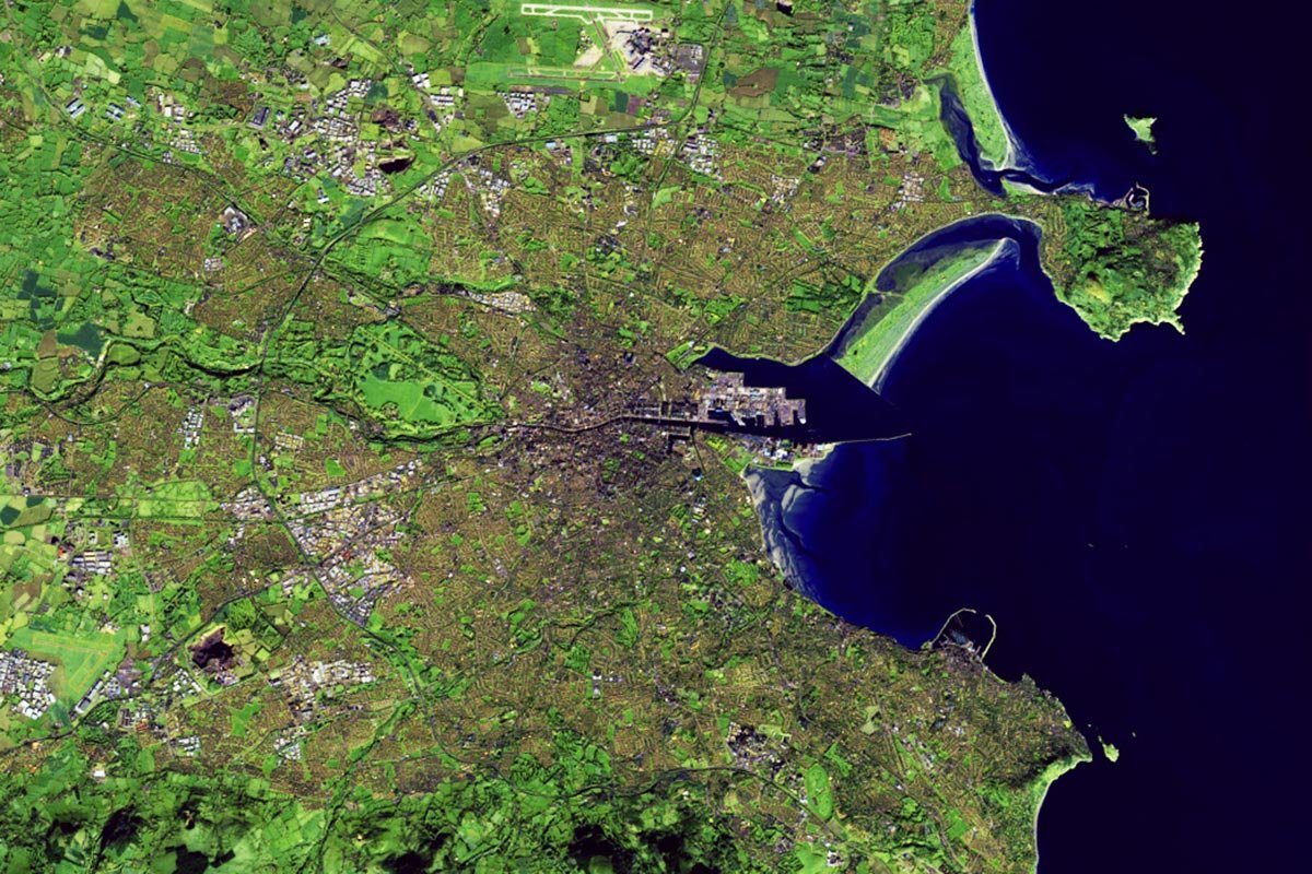
Satellite image of Dublin, Ireland, captured on November 25, 1984, by Landsat 5. Satellite image of Dublin, Ireland, captured on…
When you look out the window or walk your dog in the year 2100, the animals you spot might be…