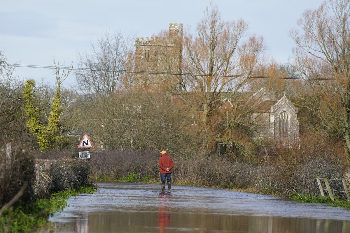
Some more showers are set to lash parts of the UK this week after what is set to be the wettest February in 258 years.
The Met Office forecast shows rain and cloud are making their way from the north on Tuesday, but they are likely to weaken throughout the day.
The showers will continue intermittently throughout the week, occassionally blustery with some sunny spells.
”Whilst there will be some heavy rain at times this week, it’s not going to be as wet as it has been through much of February,” said Alex Burkill, meteorologist at the Met Office.

Overall, 129mm of rain – two-and-a-half times the 48mm average – will have drenched Britain by the end of the month, Met Office’s preliminary figures show, making it the wettest February in over two and a half centuries.
Tuesday will start with any mist and fog patches clearing as a band of rain and cloud sinks from the northwest.
Early morning, showers will be most persistent in Scotland and northern Ireland as a band of rain moves into the UK
(Met Office)
This band of rain will continue to move through the country, covering the Midlands and parts of Southwest England as the day progresses.
There are about 150 flood alerts and 55 flood warnings still in place.
The band of rain will continue to move across the country, covering parts of England by afternoon and weakening in the process
(Met Office)
Some regions like areas around Manchester and Glasgow can see up to 4mm per hour rainfall while others will see 0.5-2mm widely.
The band of rain is, however, anticipated to weaken as it travels, with sunny spells and blustery showers following in its wake.
By evening, the band of rain will weaken, with some showers expected in the Southeast
(Met Office)
Temperatures are expected to remain in the single digits throughout the country, around the average for this time of the year.
“We’ve had this chilly air over the weekend and to start the week, which is why it’s been a bit colder than it has been recently. But temperatures are only around average for the time of year,” Mr Burkill said.
But there will be a slight increase in mercury in the next couple of days with a low-pressure system bringing warm air in.
“The jet stream is going to change its position as we go through the next couple of days running across the UK and then pushing a little bit towards the Northeast, allowing for some milder, warmer air to make its way across,” he said.
“So that’s why temperatures are going to rise as we go towards the middle part of the week.”
But mercury will again drop on Friday as air from the Arctic comes in once again, the Met Office says.


