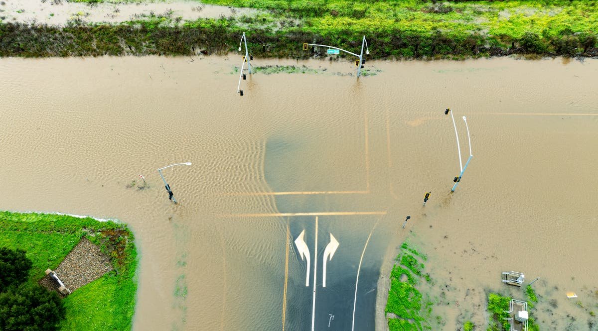
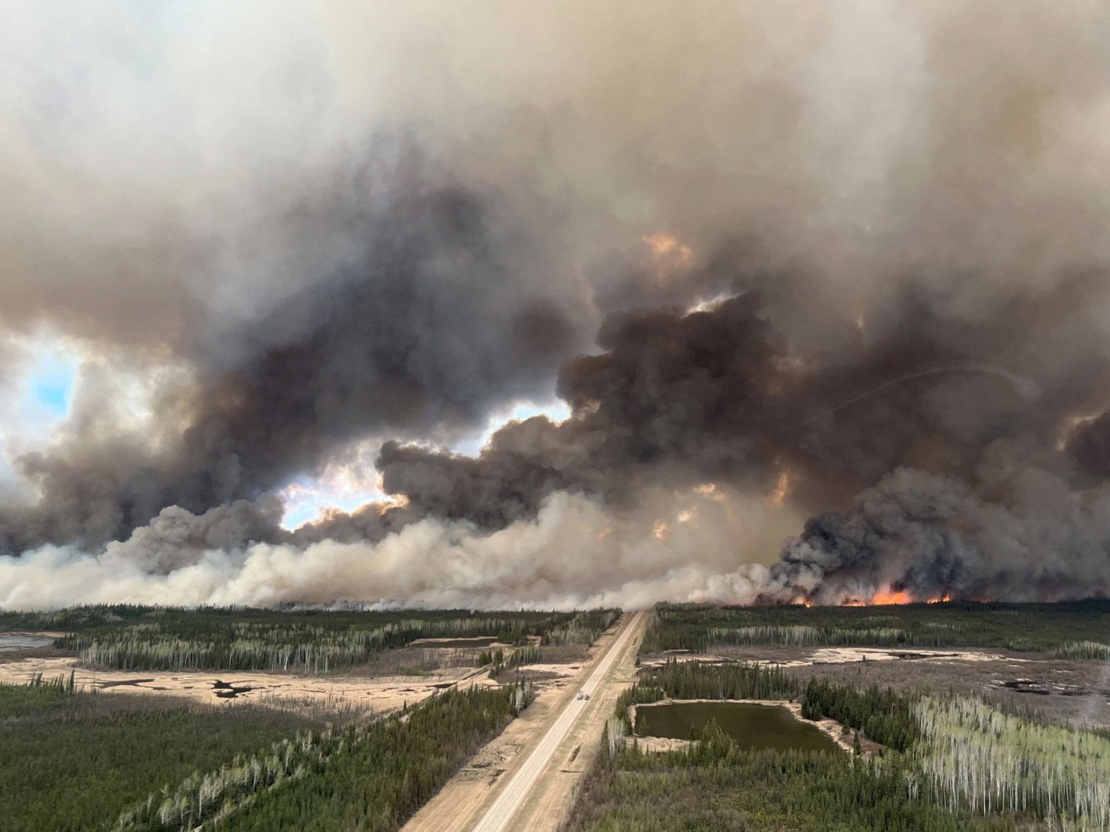
Back-to-back storms are heading for the US west coast, bringing more heavy downpours and raising the risk of flash flooding.
A plume of moisture from the Pacific Ocean is set to surge over the region on Saturday, the National Weather Service said. The downpours will start across southern Oregon and northern California on Friday night before moving down into central and southern California later this weekend.
Forecasters said that there was a “slight risk” of excessive rainfall that could lead to flash flooding from Humboldt to Sonoma counties, the heart of California’s wine country, on Saturday.

A flood watch has been issued for parts of northern California, including the city of San Francisco, and portions of the Central Coast, from Sunday morning until Wednesday morning.
Although conditions are not expected to be as severe as the impacts of an atmospheric, “river in the sky” event which hit the state last week, officials say there is cause for concern.
Many parts of California are already saturated from the heavy rain and there have been hundreds of landslides so far.
Possibility of tornados along Central Coast
The National Weather Service (NWS) has warned of the possibility of tornadoes along the Central Coast on Sunday ahead of further atmospheric storm systems.
“The environment is marginal for a weak and brief tornado or two along the Central Coast, mainly coastal sections of San Luis Obispo County late this afternoon to evening hours. That is when marginal instability overlaps with modest low level veering (turning),” an updated NWS forecast said on Sunday afternoon.
“Other hazards include brief heavy downpours, gusty winds to 40 mph, and potentially lightning. As mentioned in earlier discussions, this type of low top convection may produce little to no lightning, but still present many of the hazards listed.”
Mike Bedigan18 February 2024 23:00
Saturday weather a ‘primer’ for next week’s storms
Forecasters from the National Weather Service (NWS) expect Saturday’s system to be lighter but to act as a “primer” for the next storm.
Any rain that falls will make it harder for the ground to absorb rain during the next one, increasing the risk of flooding, they said.
(Copyright 2024 The Associated Press. All rights reserved)
Mike Bedigan18 February 2024 21:00
Thunderstorms possible along west coast in coming days
Mike Bedigan18 February 2024 20:03
National Weather Service Sunday update
Read the National Weather Services (NWS) Sunday morning update below:
On Sunday morning, light showers will continue across the San Louis Obispo and Santa Barbara coastal ranges, continuing through the afternoon as moist South West flow continues over the area.
Despite being one day away, models are still disagreeing on the timing of when the first front moves through and when the bigger system starts to move in.
These discrepancies are leading to a chance of showers being kept in the forecast across the Central Coast and eastern Ventura through the day Sunday.
High temps on Sunday will warm a few degrees compared to today’s across San Louis Obispo due to the front having passed, but elsewhere, temps will cool around 5 degrees due to the cold air still hanging around Ventura/L.A. County.
The worst of the wet weather is expected to arrive in the area between Sunday and Wednesday.
Mike Bedigan18 February 2024 14:00
Flash flooding risks for California wine country
Forecasters warned that there was a slight risk of excessive rainfall that could lead to flash flooding on Saturday from Humboldt to Sonoma counties, the heart of California wine country.
A rate of 1-2 inches of rainfall per hour was possible, the National Weather said in its latest briefing.
The region was struck by torrential downpours during an atmospheric river-driven event which led to flooding earlier this month.
And in January, about 13,000 residents of a flood-prone area of Sonoma County were evacuated after the swollen Russian River threatened to burst its banks.
Sonoma County, California firefighters patrolling the Russian River as rainfall causes it to rise on 1 February 2024
(AP)
Mike Bedigan18 February 2024 13:00
Watch: Understanding California’s mudslide risks
Understanding California’s mudslide risks
Mike Bedigan18 February 2024 12:30
California residents survey damage caused by historic storms: ‘We were in shock’
During torrential downpours earlier this month, firefighters responded to a heavy debris flow in the Beverly Crest area of Los Angeles, evacuating seven homes.
Residents told Mike Bedigan they had “not even remotely had anything like this before”.
Read the full report here:
Mike Bedigan18 February 2024 09:10
California highway shut due to new storm threats
California’s Department of Transportation issued an alert on Friday that State Route 33 in Los Padres Forest, north of Los Angeles, would be fully closed as back-to-back storms blew into the state.
“SR-33 has 1-way alternating traffic control at 5 locations between Maitlija Hot Springs Rd. & Lockwood Valley Rd. to repair storm damage from last winter,” the agency posted on X, formerly Twitter, with video of a bulldozer clearing rocks from a landslide off the two-lane route.
Mike Bedigan18 February 2024 05:00
Snow for the Sierras
More heavy snow is on the way for the Sierra Nevada, Shasta and Trinity mountains on Saturday night as the atmospheric river system moves inland, the National Weather Service said.
A total of 1-2 feet of snow are possible over the Sierra this weekend while 1-3 feet is likely over the Trinity and Shasta Mountains.
A winter weather advisory is in place for the region around Lake Tahoe in northern California.
An image of the Eastern Sierras in California in January 2024
(AFP via Getty Images)
Mike Bedigan18 February 2024 04:15


