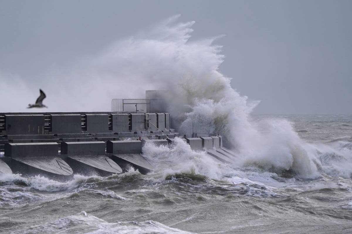
The whole of the UK is subject to weather warnings as Storm Isha brings powerful winds, rain and a risk of tornadoes as it powers into Britain from across the Atlantic.
Damage to homes and buildings, falling trees, power cuts, flying debris, large waves and even some flooding in places should also be expected, forecasters warn – with weather alerts set to remain in force in some parts of the UK until midday on Wednesday.
The Met Office has told parts of Scotland to brace for gusts of up to 90mph, with wind speeds widely expected to hit at least 50 to 60mph across the entire UK from midday on Sunday.
Seven separate weather warnings for wind and rain have been issued across the UK on Sunday

(Met Office)
And the Tornado and Storm Research Organisation (Torro) is warning of the potential for multiple tornadoes in Northern Ireland and Scotland, with the former at risk of a strong tornado. Any supercell thunderstorms which may form could also produce severe hail and lightning, Torro warns.
Millions of rail, sea and air travellers are set to face disruption, with closures, cancellations and delays expected across a number of services. Some intercity train firms are already warning against travel. And in the skies, British Airways has cancelled more than three dozen flights to and from Heathrow.
The Met Office has said “everybody” will be affected by the storm, with meteorologist Tom Morgansaying: “We’re expecting widespread gales to affect the UK, amber warnings are in place for large parts of the country.
“There’s the potential for danger-to-life and damaging winds potentially leading to some power cuts in places, some large waves around coastal regions could bring some debris onto roads and trees could come down.”
He added: “We have a wind warning in place across the whole of the UK, it’s pretty unusual for the whole of the country to be under a blanket wind warning.”
Eleven flood warnings and 77 less severe alerts are in place across England
(Environment Agency)
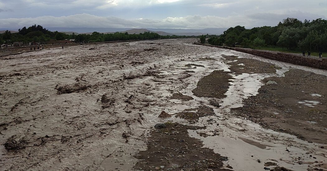
The first weather warning warns of potential flooding as a result of heavy rain in the north of England, and came into force at midnight on Saturday. Nearly four inches of rain could fall over a few hours in some regions and cause localised flooding, with 11 flood warnings already in place across England and 13 in Scotland.
The second alert – which blankets the entire UK – came into force at midday on Sunday, and warns of up to 60mph inland and gusts hitting 80mph along coastlines.
Another alert for rain in central Scotland, in force from 3pm on Sunday until midnight, warns of flood-related disruption and damage to properties.
From 4pm until 11pm, Torro has placed a vast area covering much of Scotland, including Edinburgh and Glasgow, and the entirety of Northern Ireland, under “Tornado Watch”. It also warns of the less likely possibility of one or two tornadoes elsewhere in England and Wales.
Torro has issued a ‘Tornado Watch’ covering Northern Ireland and much of Scotland (red), but also warns of possible tornadoes in England and Wales (yellow)
(Torro)
Asked about Torro’s forecasts, the Met Office told The Independent it believes there is “there is a small chance of very isolated tornadoes, especially in the west of the UK, but also perhaps in the south”.
By 6pm, two Met Office amber alerts for wind will also come into effect and remain in place until 6am on Monday.
The first of these alerts – in Scotland, Northern Ireland and northern England – warns of a danger to life, with roofs being blown off and power lines brought down. The second, covering Wales and much of England, warns of power cuts, damage to buildings, and beach material being thrown onto coastal roads, sea fronts and properties.
Many train lines across Scotland will close on Sunday night, with ScotRail and Caledonian Sleeper among those stopping some services.
Elsewhere, East Midlands Railway said it expected “significant disruption” on Sunday and Monday and delays and alterations to services, while South Western Railway is reducing its trains in the west of England.
A total of seven weather warnings have been issued by the Met Office on Sunday. Five of these will remain until 6am Monday, after which point only a single warning will remain in place across the entire UK until midday – alerting to the possibilty of wind-related damage to buildings causing dangerous flying debris, travel disruption and power cuts.
A final warning for wind will remain in force from 4pm on Tuesday until midday on Wednesday
(Met Office)
After a brief respite, a fresh alert is issued across the northern half of the UK as far south as Chester, Sheffield and Hull, including northern Wales, which will remain in place all the way through from 4pm on Tuesday until the last of the warnings finally abate at midday on Wednesday.
Storm Isha is the ninth named storm to hit the UK since the season began in September. Each storm is named when it poses a risk to people and they are given names beginning with consecutive letters of the alphabet.
The record number of named storms in one year is when the Met Office began the practice in 2015/16, with Storm Katie being the 11th and final storm of the season.
If there are three more named storms between next week and August, this year will mark a new record.
Cold Arctic air pushing south into North America is making the jet stream more active, the Met Office said, and because it flows from west to east, it is bringing stormier weather to the UK.
Additional reporting by PA


